Reality Capturе
Laser scanning and digital photogrammetry
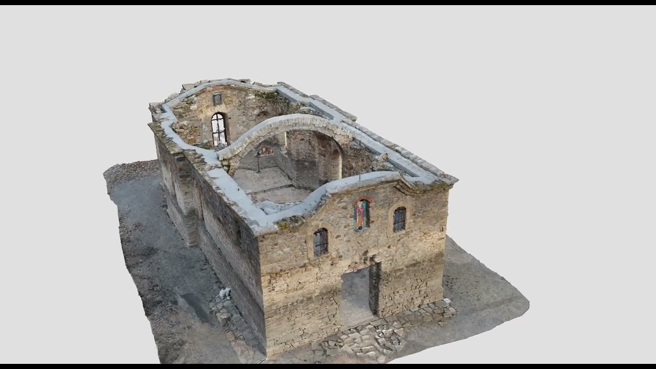
Laser scanning is used with priority to model complex engineering structures, like tunnels and bridges, also It's very suitable for capturing cultural heritage sites.
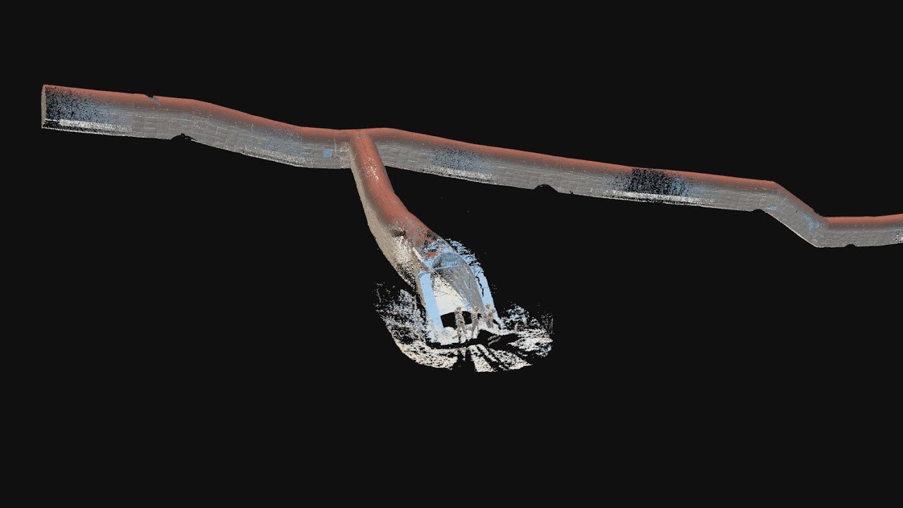
Our team execute aerial mapping of the earth's surface with the help of unmanned aerial vehicles (drones) and specialized software for digital photogrammetry, the product of which is aimed to be realistic and accurate three-dimensional models of our surroundings.
The geospatial information, gained through the technology of laser scanning and digital photogrammetry, could be synthesized via post-processing using specialized software. In this way captured objects receive their best realistic and geometrically accurate three-dimensional (3D) digital twins.